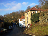
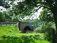
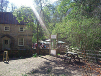
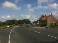
The North Yorkshire Moors National Park and Moorland Villages
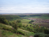
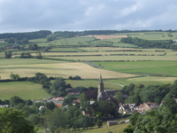
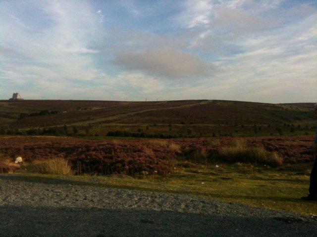
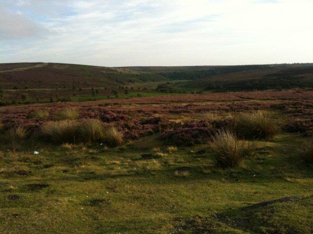
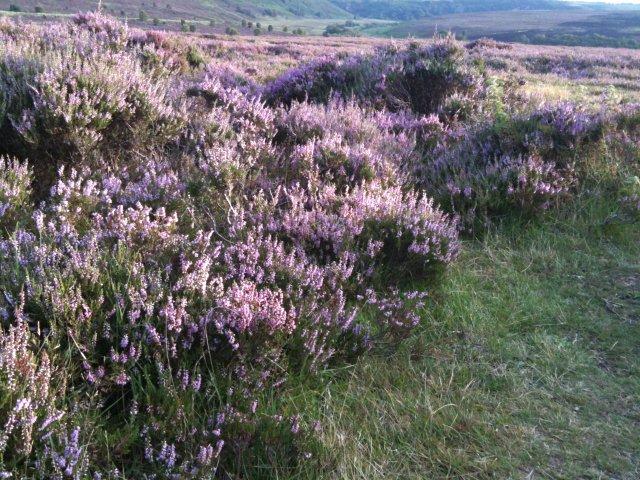
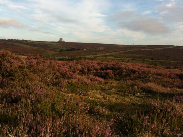
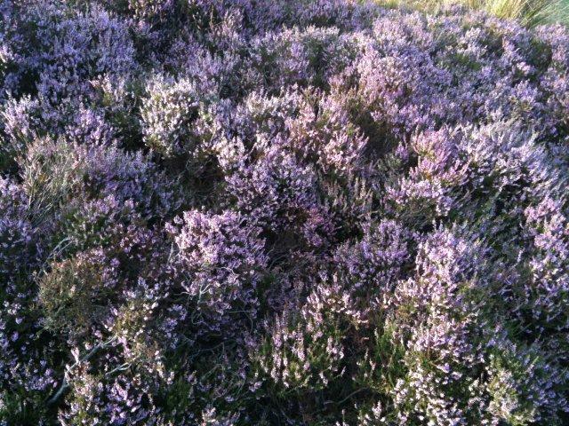
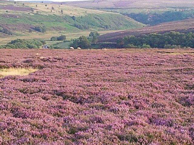
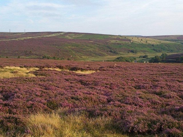
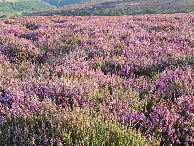
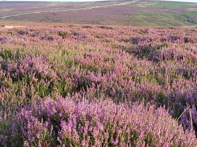
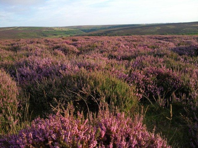
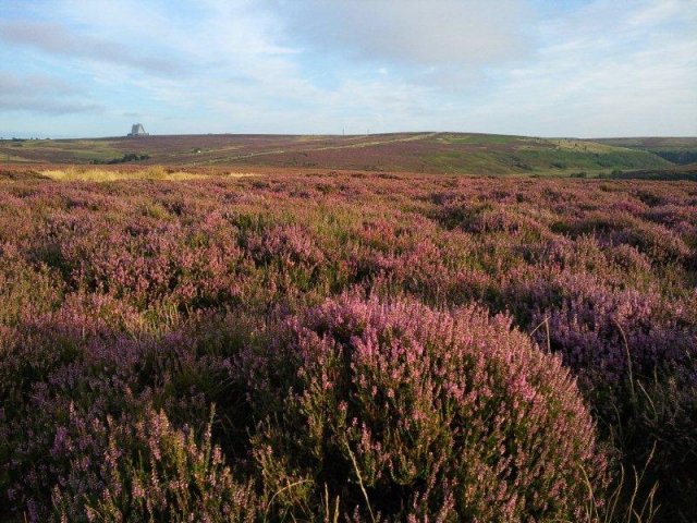
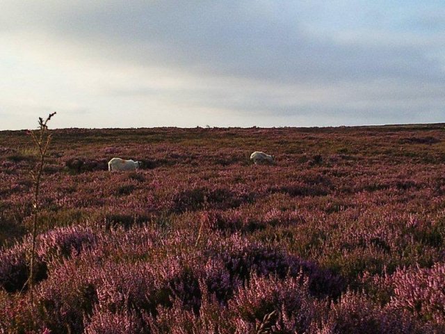
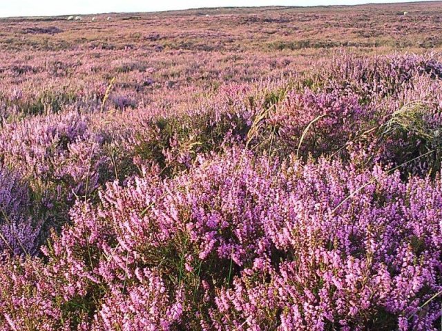
The North Yorkshire Moors National Park is a large area, encompassing a spectacular coastline, breathtaking moorland, ancient woodland and many historical sites. Bordered on the east side by the North Sea coast, the north and west by the Cleveland Hills and the south by the Tabular Hills and the Vale of Pickering, the area has seen a varied history over the millennia. There are about 12,000 archeological sites within the region.
The Mesolitic period of around 8,000 BC, saw England still joined to the Eurpopean land mass, which enabled Middle Stone Age travellers, to inhabit the North Yorkshire Moors. Relics found, include flint tools and flint flakes, used to make their hunting tools, for example arrows, spears and knives. The Neolithic New Stone Age era from 5,000BC, saw Britain cut off from Europe by rising sea levels.
The population increased in the area, with vast forests destroyed to make way for farming. People grew crops and kept animals. In the Bronze Age, 2,000 BC, Bronze Age Beaker People inhabited the area, bringing with them round houses and stone circles. They were adept at making pottery and buried their dead in burial mounds. Incidentally they were thought to be the first to introduce alcoholic drink in this country!
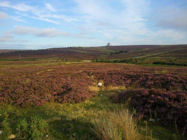
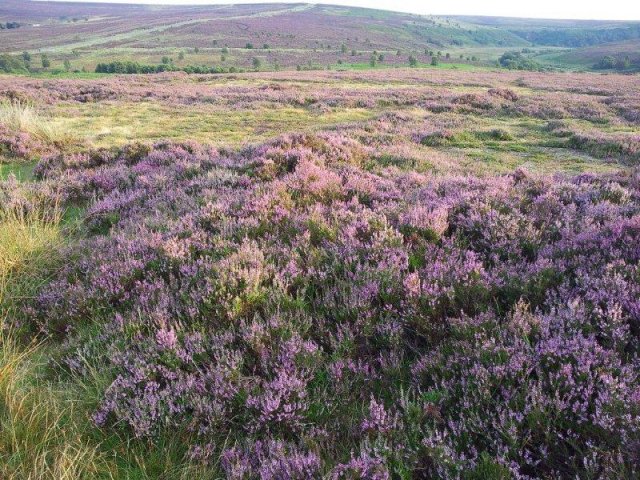
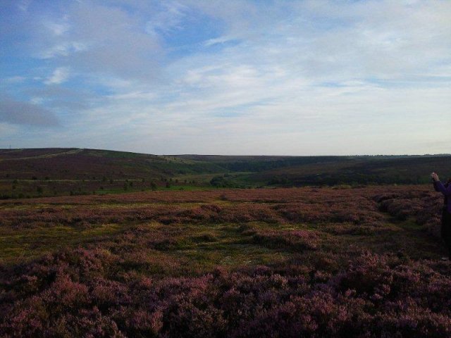
Slideshow of North Yorkshire Moors Photographs
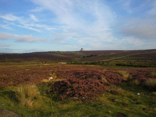
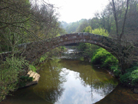
The Iron Age, 600BC, following on has left little evidence. The Romans, arrived here in AD71, and created a fort at Malton. From here, they built many roads and set up a number of camps and many signal stations along the coast . The Romans left under the orders of Emperor Honorius in 410AD. The Anglo Saxons next inhabited the area, followed by the Danes in 867 AD. The numerous castles around the area, were built in the Middle Ages, and so too were many monasteries. These are very much in evidence today and attract many visitors annually.
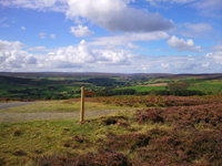
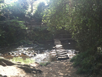
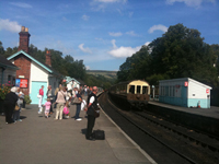
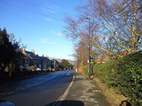
With over 1,400 miles of paths and tracks to discover and enjoy, to either walk, bicycle or horseride, the North York Moors National Park Authority maintains and monitors
the rights of way network within their area. There are signposts around the area describing the different types of paths/tracks.
Yellow Arrow - Public footpath, walkers only.
Blue Arrow - Public bridleway, walkers, cyclists and horse-riders, give way to others.
Red Arrow - Byway - all traffic. Drivers please give way.
White Arrow - Concessionary path. Not a public Right of Way, but the landowner invites you to enjoy it.
There are many walks and rambles, that are described in detail by way of guides that can be downloaded from the North Yorkshire Moors National Park website, by clicking on the following link.
NYMNP Website These are available for both inland, country and moorland walks as well as coastal walks. The Cleveland Way National Trail
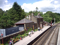
and the North Sea Trail both pass through Whitby.
Click on the boxes below to find out more information on the Moorland Villages and Places of Interest